Sunday, September 20, 2015

Day 37 - Moab, UT (Day 2)

We're going exploring today. From the looks of the RV parks in the area, we're going to have a lot of company. Seriously, there are lots of parks and they all appear to be full.

Moab seemed like a sleepy little town when we were here in 2009. It was buzzing with tourists when we arrived yesterday. One big difference is that we stayed in the middle of the week in 2009 vs. arriving on a Saturday this time. The public certainly knows about this place.

Arches National Park
The park entrance is on US-191, 9.8 miles north of our campground. We left for the park at 9:45 and spent about 4 hours driving the length of every access road.

We've been here before, but the sights and shapes continue to mystify us. How did they come to be? How can we capture the uniqueness of the terrain?

Geologists tell us the park lies on top of an underground salt bed that is responsible for the arches, spires, balanced rocks, sandstone fins and eroded monoliths. All we can do is share scenes from our visit.
Park entrance
Moab Canyon from park entrance climb
Carol at Park Avenue
Balanced rocks at Park Avenue
A closer look
Three Gossips
The Organ
Tower of Babel
Petrified dunes
Really?
There are so many odd formations. 
Balanced Rock
Climber at Garden of Eden
What a view!
North Window Arch
Delicate Arch from lower viewpoint
Delicate Arch up close
Salt Valley Overlook
Fiery Furnace
Skyline Arch
Devils Garden

There's so much more to see and share. Perhaps next time.

Tomorrow
We're going to work our way back up to I-70 and continue eastward toward Denver.

Saturday, September 19, 2015

Day 36 - Provo, UT to Moab, UT

The lower third of Utah is home to many national parks. These treasures include Zion, Bryce Canyon, and Capitol Reef National Parks, and Grand Staircase Escalante National Monument. Moab is within a few inches (on a map) of Arches and Canyonland National Parks. We're going to explore Arches.

The Route
We left Provo on I-15S, exited onto US-6E at Spanish Fork and followed it to Helper, where it connected with US-191S. US-191S completed our 201 mile scenic journey by taking us all the way to Moab.

About the Day
We woke to a sunny, cool (45°) morning. The temperature warmed throughout the day and made it to 85° by the time we arrived in Moab.

Along the Way
We enjoyed lots of natural artwork changes as we progressed southeast through the mountains.
Wind farm leaving Spanish Fork on US-6
US-6 follows valleys and train tracks
We climbed mountain sides
There are some "whee" moments going down.
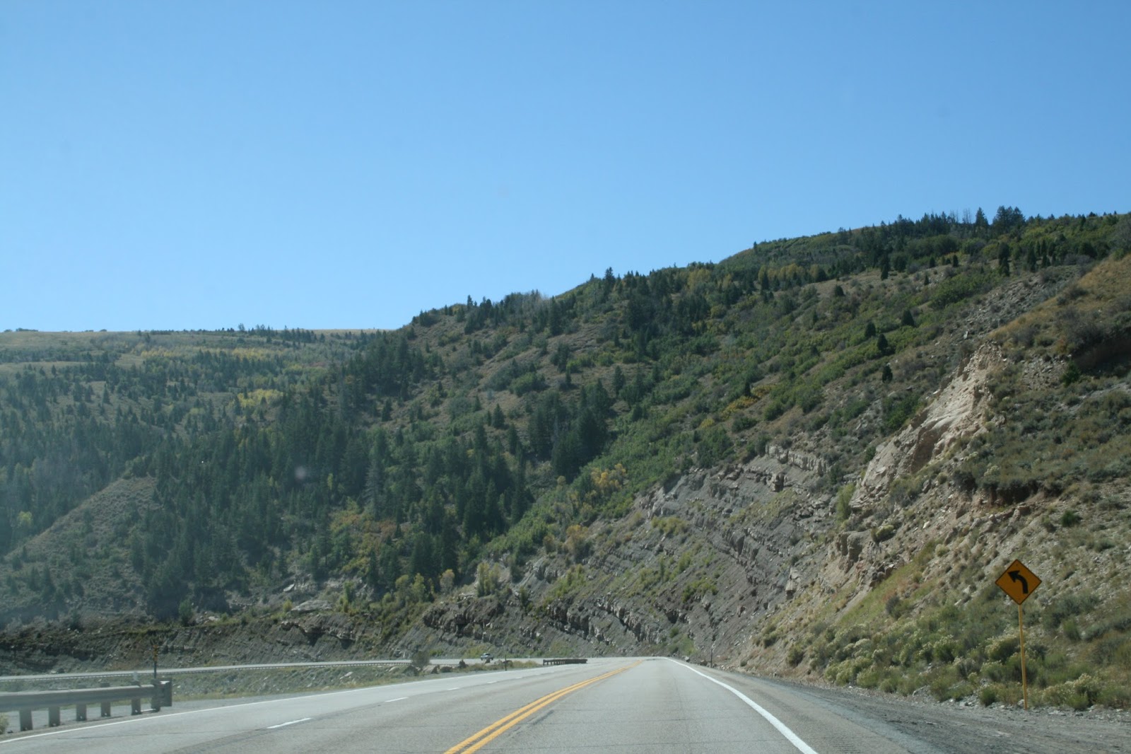
Sometimes we went through the mountains.
We descended into the San Rafael Desert
as we continued SE toward I-70.
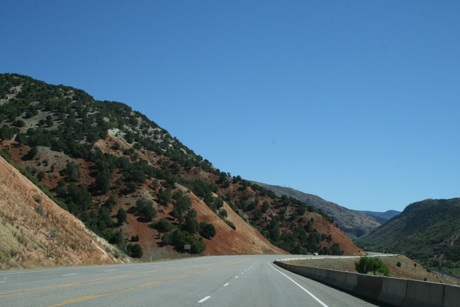
These strange shapes appeared along US-191
as we approached I-70.
Entering Moab

The Campground
We arrived at a popular time for tourists. The campground we stayed at in August 2009 was full. We got the last site with utilities at Spanish Trail RV Park ... electric only. This is a nice campground that is having growing pains. We're in a new, unfinished section.
Site #816
View from our door

Friday, September 18, 2015

Day 35 - Elko, NV to Provo, UT

Ooh! It was cool (low 40s) last night. Fortunately, today was sunny with light breezes. The temperature reached the high 60s.

The Route
We traveled 274 miles to Provo, starting on I-80 in Elko. We avoided downtown Salt Lake City traffic by leaving I-80 on UT-201 at Garfield and turning south on UT-154. We got onto I-15 from UT-154 and got off at exit 265 in Provo. West Center Street took us to the campground.

About the Day
Travel was much like yesterday. I-80 was in good condition, visibility was great, and traffic was light until we got to Salt Lake City. The landscape offered many delightful surprises.
Leaving Elko

Sights along the way ...

We saw our 4th Nevada prison in the past two days.


Trees appeared as we
approached the Utah border.
I-80 looks like a long road at times.
Where are the people?
This does look like the wild west.
Surprise of the trip ... Bonneville Salt Flats
appear as we crest the hill above Wendover.

Four military test ranges are located between the Great Salt Lake and Utah's western border. I-80 passes the Hill Air Force Range, Wendover Range, Desert Test Center and Dugway Proving Grounds.
Scenes from the salt flats,
just east of Wendover, UT

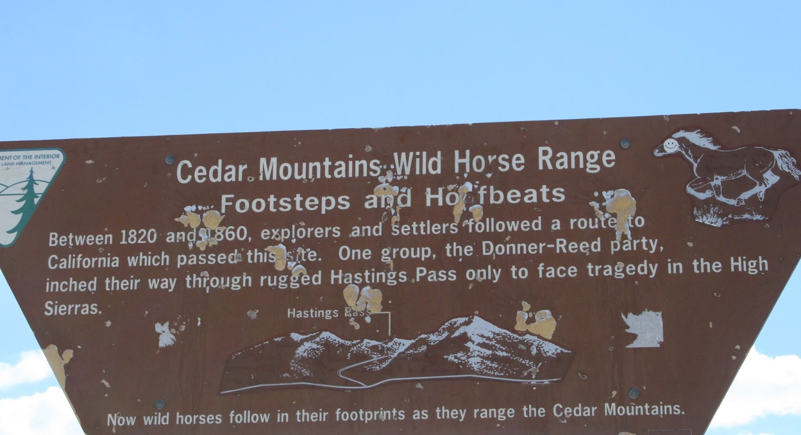
Explorers and settlers followed a route to California that passed a site located on an I-80 rest area. We stopped there ...
An interesting warning.

Approaching Salt Lake City ...

The Campground
We're staying at Lakeside RV Campground. It's older, but quite nice. There are lots of shade trees.

Thursday, September 17, 2015

Day 34 - Sparks, NV to Elko, NV

Today was sunny and mild. It was a perfect day for a long drive through a remote area.

The Route
I-80 provided a simple way to get to Elko ... get on in Sparks and drive 296 miles east.

Along the Way
The route was simple. The terrain was rugged and fascinating.

There were six cities of significant size along the way. Fermley, Lovelock, Winnemucca, Battle Mountain, Carlin and Elko were separated by lots of wilderness.

We stopped at a Black Bear Diner in Yreka, CA a few years ago. The experience was exceptional, so we tried a Black Bear Diner in Fermley for a late breakfast today. The menu is varied and fun. Our selections were generous and delicious. Try this chain if you get a chance.

The three prisons along the route confirm the isolation in this part of the state.

The highway was in excellent condition and traffic was light.
Leaving Sparks on I-80
The Fernley Sink hopes to collect some
of the area's annual 5" rainfall.
The Fernley Sink Lake appears snow covered.
We saw a lot of this today.
The Winnemucca name got us.
Approaching Pumpernickel Valley
I-80 snakes through the mountains.
Approaching Carlin Tunnel

The Campground
We're staying at Iron Horse RV Resort. Though the park name suggests the obvious for some, we didn't think about the significance of the name until we pulled in. It's next to the railroad tracks.
This is a very nice RV park.